 WAKEY
Follow any ship.
Where is your ship right now?
Live positions, speed and destination for 813 cruise ships and ferries, received from coastal AIS radio. Type a ship’s name.
Popular Icon of the Seas Oasis of the Seas Queen Mary 2 Near me

Last AIS report 2026-11-19 19:13 UTC · 3D model as in the app


WAKEY for iPhone · Coming soon
Your ships. Your fleet.
Every cruise ship and ferry on a 3D ocean, scaled to its real length. Save the ones you care about and find them in a tap.
- 3D shipsReal length, turned to their heading
- My FleetYour ship, your family’s, your ferry
- Track replayThe last 24 hours or 7 days
- Harbour alertsWhen a ship arrives or leaves
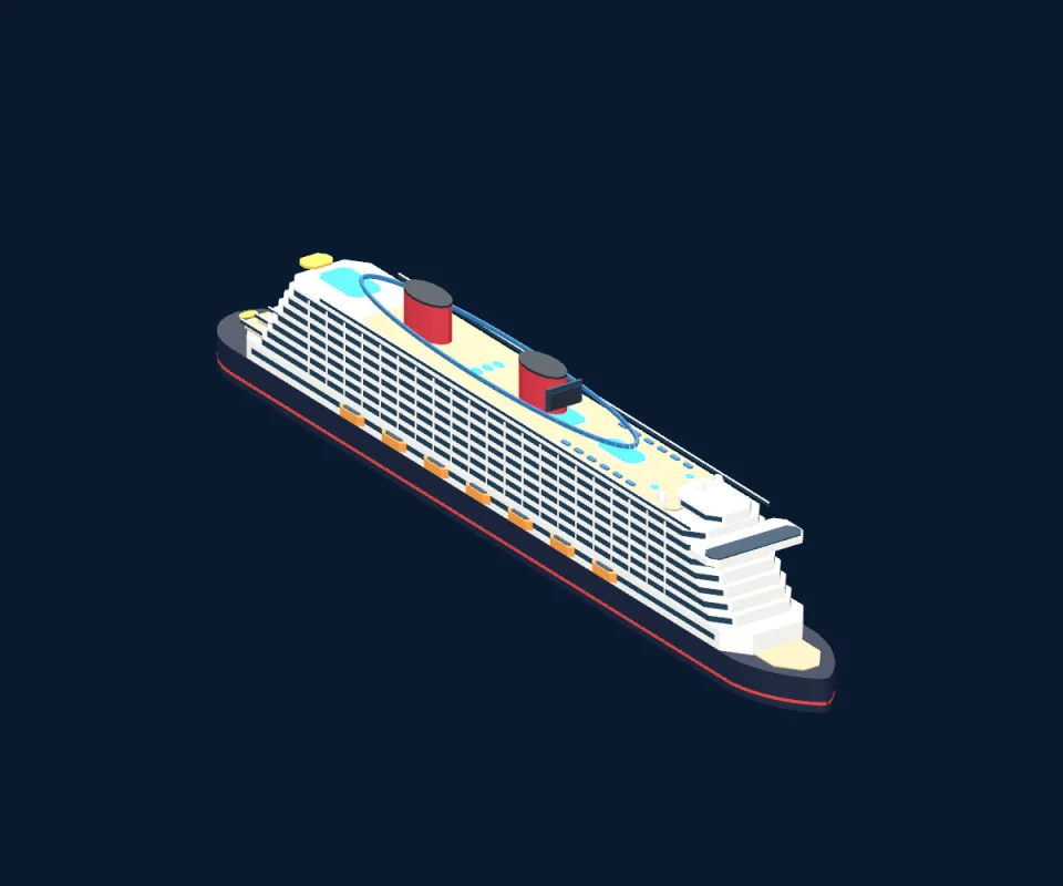
Representative 3D models, as they appear in the app. Free to download when it launches.
247 ships underway as of this update
Every row is a real ship and its last AIS report. Open one to see its map, path, destination and sister ships.
Every ship, port and pier, one search away
Look up a ship by name, see what is docked at your port today, or find the best pier to watch a sail-away.
Ships
813Where is it now, how big is it, who are its sister ships.
Ports
32Which ships are in or near a harbour right now.
Terminals and piers, with arrival and departure windows.
Every fleet, from Royal Caribbean to BC Ferries.
Compare sister ships of the same design.
Guides
11How to track a ship, where to watch them, what AIS is.
- How to Track Royal Caribbean Ships Live: Icon, Star & Wonder of the Seas
- Vancouver & Salish Sea Ship Watching Guide: Cruise Ships & BC Ferries Live
- PortMiami & Port Everglades Ship Spotting Guide: Tracking Turnaround Day Live
- Alaska Inside Passage Ship Tracker: Juneau, Ketchikan, Skagway & Seattle Departures
- Famous Superyachts on AIS: Tracking Black Pearl, Koru, Azzam & Maltese Falcon
Where WAKEY can see
Positions come from coastal AIS radio receivers, not satellites. Near the coast, ships report every few seconds; far offshore they can drop out until they return to range. Destinations are typed in by each ship’s crew.